The Microsoft windows file management system was developed to enable users to easily save, copy, delete and move files within a hierarchical folder structure. Each file type is identified by a dot definition system. So a Paint program file could have a .png, bmp or .gif format. A text file could have a. .doc format. An excel spreadsheet could have a ,xls format. This file management system works very well for file types which generally consist of a single file format, however GIS formats such as Esri shape files or MapInfo tab files are made up of a number of different file types. This often presents a problem for casual GIS users when copying, deleting, moving or saving such files through a file management system such as Microsoft Windows. Often only the .tab or shp file element is copied which means that the specified file will not load into a GIS system.
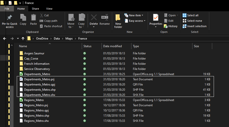
In the above screen shot from the Windows file management system the shape file format can be seen to consist of four files, all of which are needed to produce a map layer in a GIS.
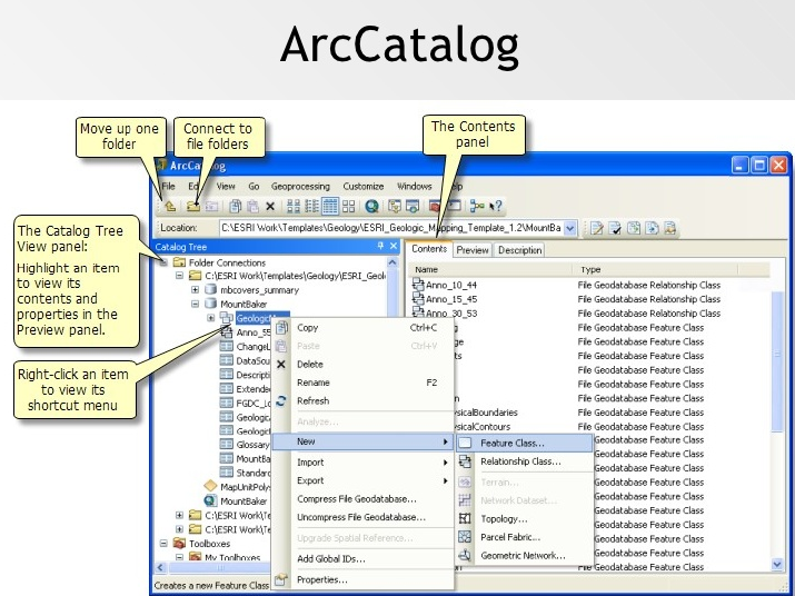
ESRI have addressed this problem with the introduction of ArcCatalog, which is there own proprietary file management system. Within ArcCatalog various filetypes are stored is such a way as to enable the user to access the various elements as if they were a single file. Additional features enable users to preview maps within ArcCatalog as well as the ability to drag and drop files into the map surface.
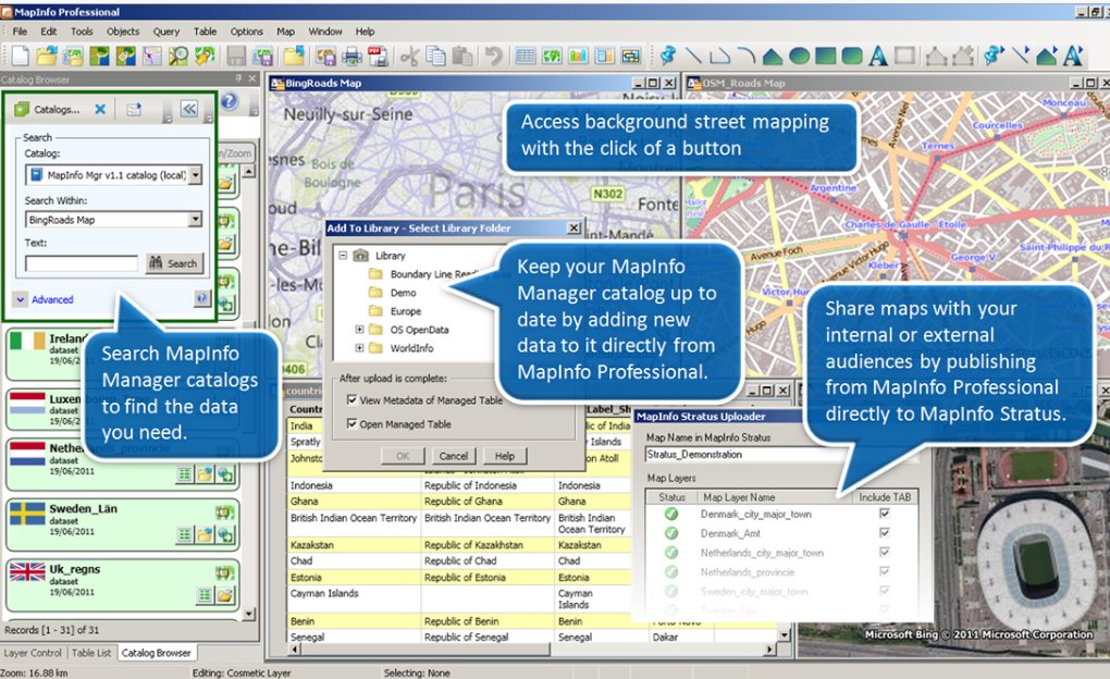
MapInfo and QGIS have developed similar interfaces to ArcCatalog to enable users to correctly copy, move, delete and save shape and tab files.
Here is a screenshot of the MapInfo Map Manager application.
Here is a screenshot of the MapInfo Map Manager application.
Here is a screen shot of the QGIS browser.
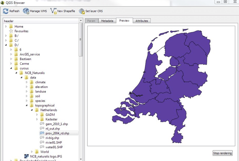
These GIS file management systems have features not available in the standard Windows file management system. For instance the QGIS browser has tabs which allow users to view a variety of different aspects of the data including metadata, attribute data and map views. Files in the browser can be dragged and dropped in the QGIS map frame as an alternative to opening the file via the standard GIS file menu system.
The shape and tab file formats have been around since the beginning of desktop mapping. MapInfo introduced the first desktop system in 1986 which gives you an indication of how long these formats have existed.
As they are still used and therefore relevant, it is always useful, for even the most casual user of GIS, to be aware of the file structure of shape and tab files as they are still going to around for the foreseeable future.
 RSS Feed