|
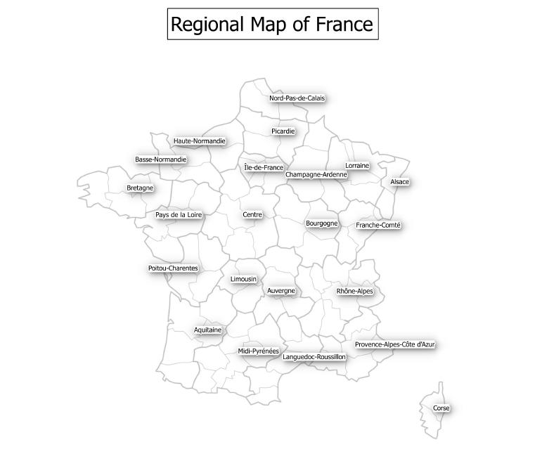
If you want to label your map you can normally achieve this without too much difficulty with GIS software such as ArcGIS, MapInfo or QGIS. All of these desktop GIS provide the facility to automatically place labels on the map by using data in the attribute table linked to a layer. Various labeling functionality is available depending on your choice of GIS software. However, most desktop GIS now offer dynamic labeling options regarding text style, buffers, shadows and placement. Below is an example created with QGIS of a regional map of France showing most of these options. Using the label facility rather than adding a text field is recommended as labels and text behave differently. Labels will remain near to the features they are associated with when you zoom in and out. By contrast, text does not react this way when you use zoom or pan controls in your map.
1 Comment
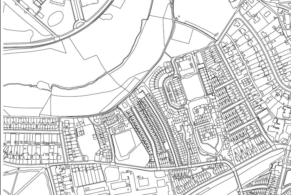
Some desktop GIS now support ruled based symbology as a method of rendering a vector layer. If your GIS supports this option you can convert a vector layer from simple points, lines and polygons into something much more meaningful. Here is an Ordnance Survey sample prior to applying the rule based option. As you can see the layer shows a plain black and white polygon map without any of the features being differentiated depending upon their underlying layer attribute data.
|
AuthorJoe Short BSc has been involved with various mapping solutions for over twenty years. If you are considering implementing a GIS or have ArcGIS Pro, MapInfo Pro or QGIS training requirements, jps services would be happy to be of assistance to your organisation. Archives
September 2023
Categories
All
|


 RSS Feed