In the latest version of QGIS the atlas function has been improved so that you can now preview the output rather than having to create a pdf first. If you haven't yet used an atlas facility then you may not be aware of what this option can provide. The atlas facility enables you to use a base map of points, lines or polygons to create a series of maps. You could for instance, take a map of a country consisting of its regions and automatically create a series of maps for each of the regions.
The map of France shown below consists of 22 regions. To show the functionality within the atlas function first choose a print composer or create a new one. I will assume that you are familiar with how to use the print composer.
The map of France shown below consists of 22 regions. To show the functionality within the atlas function first choose a print composer or create a new one. I will assume that you are familiar with how to use the print composer.
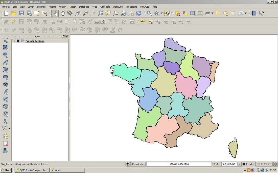
Map of French Regions
Once you have set up your print composer select Atlas - Atlas Settings from the top menu or alternatively select the tab Atlas generation. Within the Atlas section enable the Generate an atlas option. Select the layer you want as the Coverage layer - in this example the Regions_Metro layer. This layer contains the 22 regional polygons. You have an option to sort the generated maps using an attribute - in this case the regional names. If you enable the map by clicking on it you will see that there is an option: Controlled by atlas in the Item Properties dialogue section. In order for the atlas to be generated you need to enable this option. As this option is not always automatically enabled for the coverage map you need to check that this option is enabled within the Items properties dialogue section. With this feature enabled you have three options: 1. You can choose a margin around the feature. 2. Predefined scale (best fit). 3. Fixed scale. On this occasion I have chosen option 2.
 RSS Feed