jps services
  • Home Page
  • GIS Training Courses
    • QGIS Training Courses
    • ArcGIS Training Courses
    • MapInfo Pro Training Courses >
      • MapBasic Training Course
  • About
  • Blog

Updating MapBasic legacy code, which contains enable/disable menu/button features, to a ribbon interface

3/2/2017

1 Comment

 
The Mask application developed by TWIA.NL enables the user to create a mask around one or more selected polygons. The program is menu driven and also has a button and menu options which are enabled when one or more polygons are selected. When this program is run in the new MapInfo Pro ribbon interface the code is displayed under a legacy tab as shown in the following screen shot.
Picture
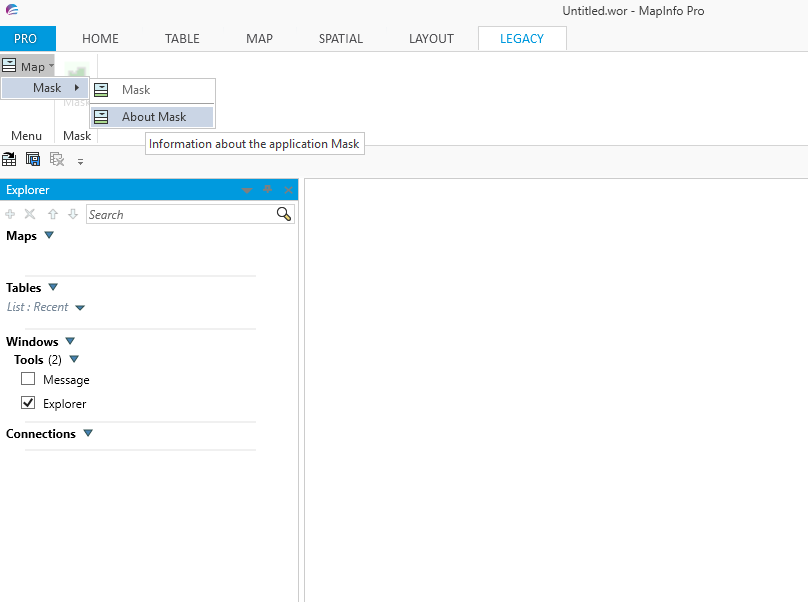
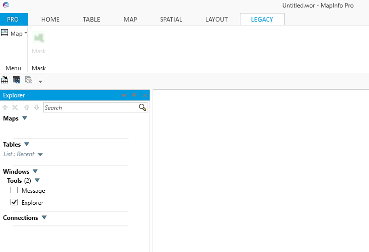
​The following screen shot shows how the button containing a mask image is disabled whilst there are no polygons selected.
Picture
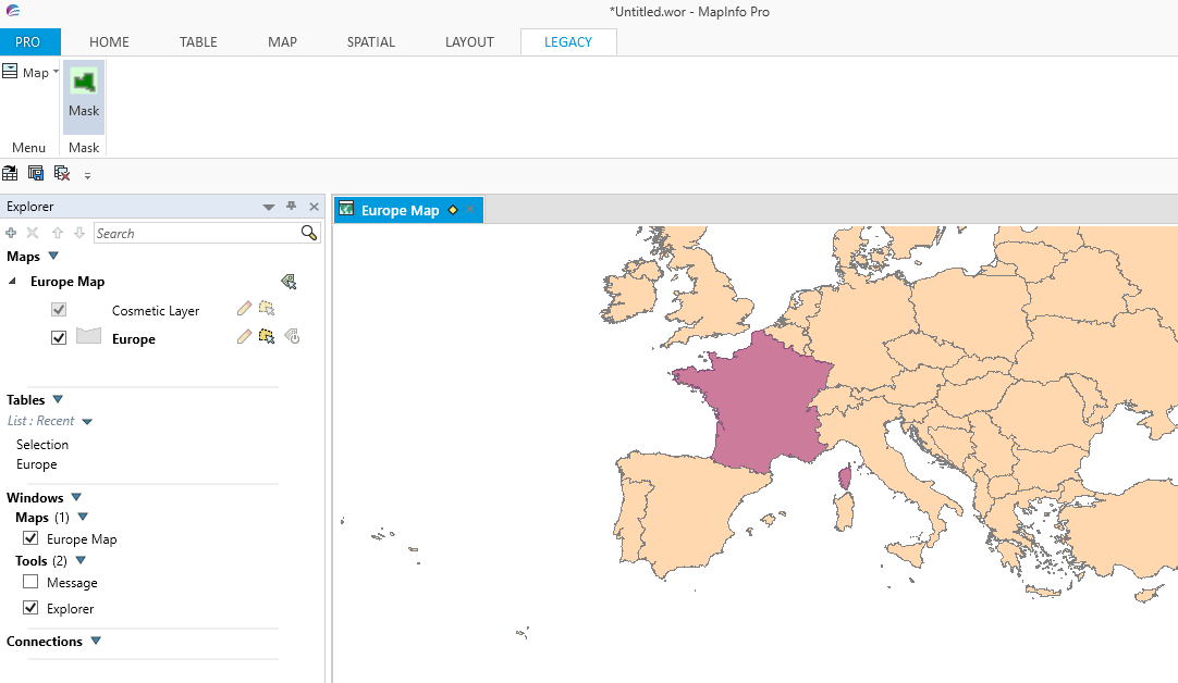
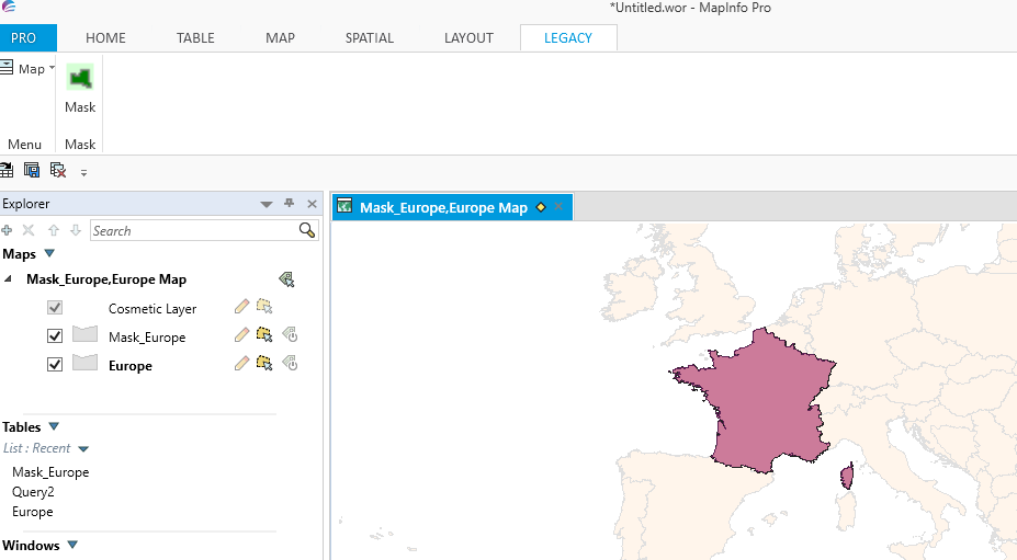
Once a map has been opened and polygons selected the button and menu options are enabled as shown in the following screen shot.
Picture
Clicking on the enabled Mask button brings up a dialogue box where the user can choose various options when creating a mask. Once selected the mask is created and automatically saved to the table and location chosen by the user as shown in the following screen shot.  
Picture
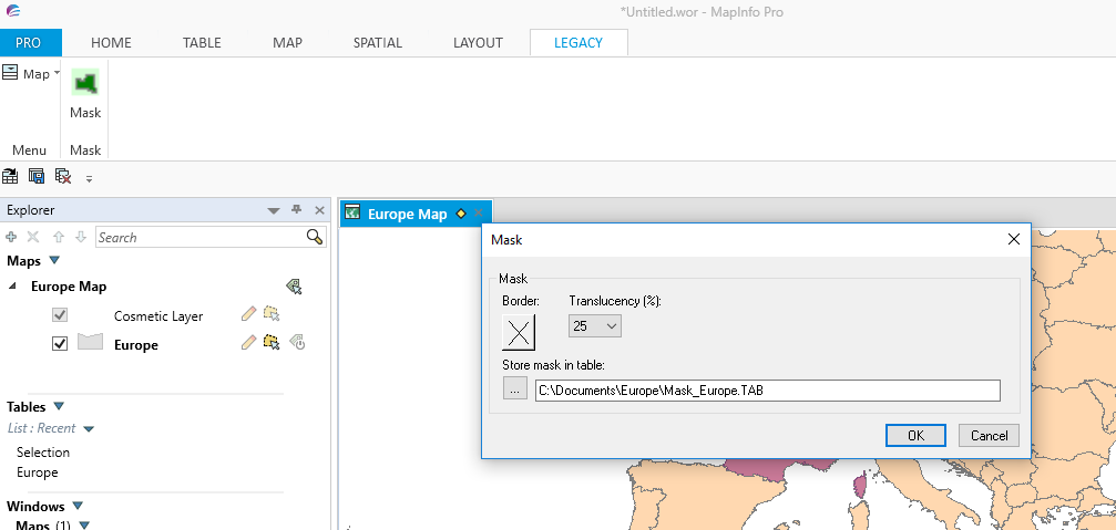
Once the various options have been chosen the mask is created as in the following screen shot.
Picture

Read More
1 Comment

    Author

    Joe Short BSc has been involved with various mapping solutions for over twenty years.  If you are considering implementing a GIS  or have ArcGIS Pro, MapInfo Pro or QGIS training requirements, jps services would be happy to be of assistance to your organisation. 

    Archives

    May 2025
    March 2025
    March 2024
    October 2023
    September 2023
    August 2023
    March 2023
    April 2020
    March 2020
    October 2019
    September 2019
    August 2019
    July 2019
    March 2019
    November 2018
    October 2018
    August 2018
    July 2018
    November 2017
    October 2017
    September 2017
    July 2017
    February 2017
    January 2017
    December 2016
    November 2016
    October 2016
    May 2016
    February 2016
    September 2015
    August 2015
    April 2015
    February 2015
    November 2014
    October 2014
    July 2014
    June 2014
    May 2014
    March 2014
    February 2014
    December 2013
    November 2013
    October 2013
    September 2013
    August 2013
    June 2013
    May 2013
    April 2013
    February 2013
    December 2012
    October 2012
    September 2012
    August 2012
    July 2012

    Categories

    All
    Arc Gis
    Arcview
    Autodesk
    Cad
    Gis Training
    Local Government
    Mapbasic
    Mapinfo
    Quantum Gis
    Relational Databases
    Saga Gis

    RSS Feed