If you have x and y co-ordinate information in a text file it is normally quite straight forward to convert that data into a points layer within a desktop GIS. Sometimes, you may also have data created with a GPS in degree format. This kind of data is not as straight forward to convert into a points layer as you have to ensure that the text file is in exactly the correct format. The following example shows how to import degree data into QGIS in a comma separated text file format.
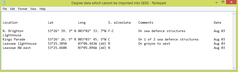
This degree information needs to be formatted in order for it to be imported into QGIS
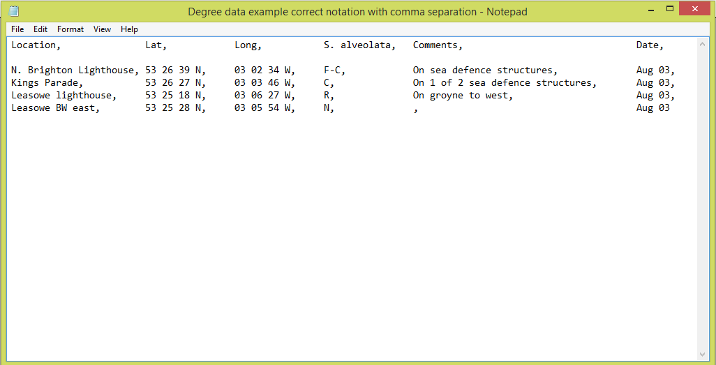
Comma separated text file showing degree notation for hours minutes and seconds
With QGIS, the first stage is to ensure that you have your information in the degree (DMS) format of Degrees, Minutes and Seconds. You may have your file in this format already and in this case you should be able to proceed to import it into QGIS. If the process fails completely or if you have your point layer not loading correctly there could be one of the following factors at play.
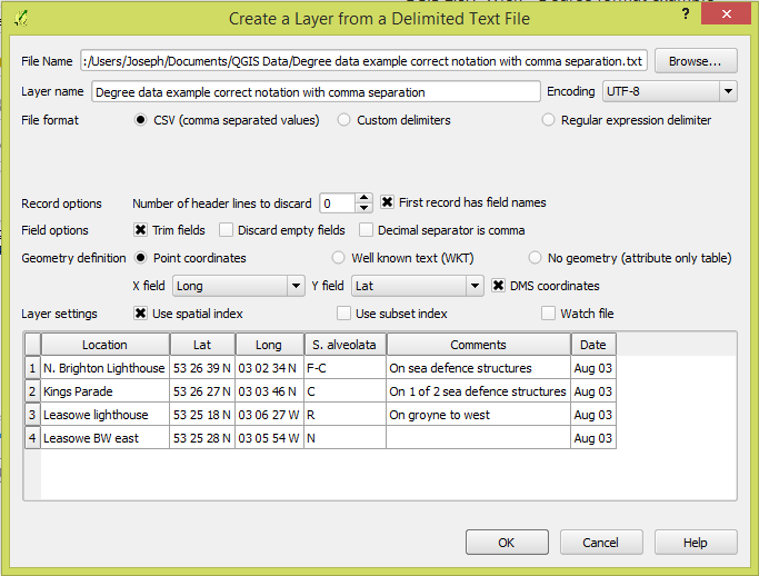
Dialogue box showing the various settings for degree format information
When you have selected the Add Delimited Text File QGIS displays a dialogue box. For degree data QGIS has a DMS tick box which must be enabled. Otherwise the assumption is you are trying to load x and y co-ordinate data which is the usual default. The other defaults include the assumption you have a comma separated file format. If not, you will have to state how the data elements are being separated with the custom delimiter or expression options. Remember that you need to also signal whether your text file has header information. Such information is useful as it helps to make the data columns more meaningful. If you have headers remember to enable this option otherwise you will have problems when the points layer is created.
Going back to the degree data remember to check whether any of the rows in your text file contain information, as in this example, in the format: 53°25.305N. If this is a little confusing don't be concerned as I will now explain the changes! Firstly, remove any degree symbols. Then convert from decimal notation if either the hours or minutes are displayed in that format. For instance, 53.70 degrees would convert to 53 hours 42 minutes 0 seconds (0.7 * 60 minutes), and 53 degrees 35.70 minutes would convert to 53 hours 35 minutes 42 seconds (0.7 * 60 seconds). Here the minutes are shown in decimal format rather than minutes and seconds. Also the degree symbol is not required for the number of hours element. If this is left in your text file the process will fail. For your data to load correctly it should be shown in this format as in this example: 53 25 18 N. Remember to put a space after the seconds data as the N also requires a space. Even if all the other data is correct this single space error could cause your data to fail to load correctly. Also check that you have put the correct order for the latitude and longitude into the X and Y field options in the dialogue box. Once you have your data in this format for latitude and longitude your data will successfully convert to a points layer. One final check is to see if your points data is correctly placed on your map. You can do this by loading a background map with the Open Layers plug-in. You should then be able to clearly see whether your data correlates with the background map.
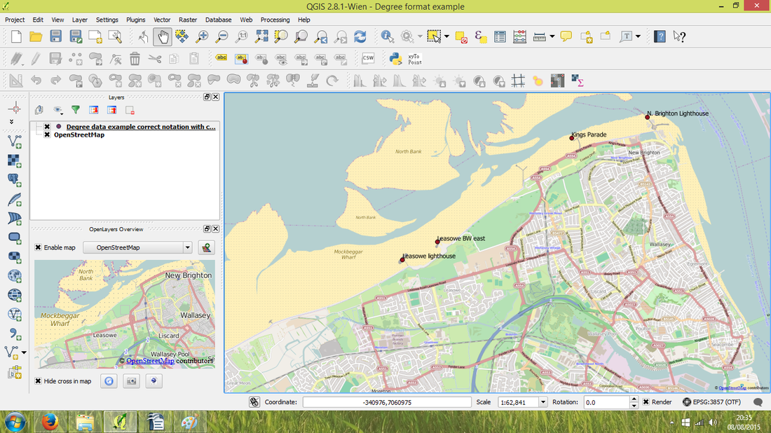
QGIS map showing data points created from comma separated text file of data in degree format
If you would like to further explore how GIS could help your organisation jps services offers one and two day training courses in QGIS, ArcGIS and MapInfo.
 RSS Feed